
Map of the gorge
Location
Bílá, the district of Frýdek-Místek
Navigation in Mapy.cz
Navigation in Mapy Google
Time: 3:30h
Ascent: 2:00h
Descent: 1:30h
Difficulty
Elevation difference: 310m
Discovered for rokling.cz by Gandalf.
Trail description
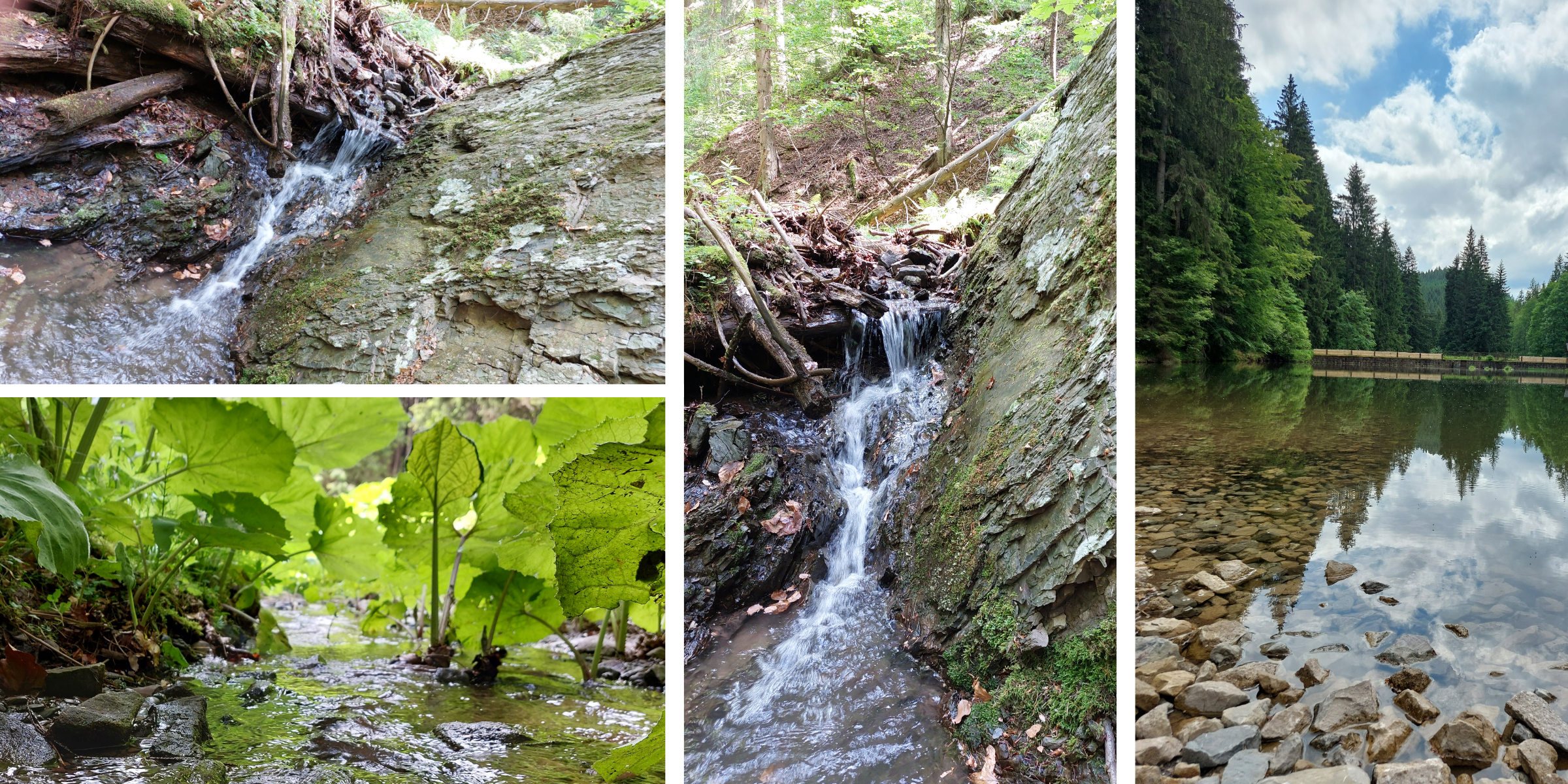
Your route leads past the Hunting Lodge on Bílá, near which there is a car park, which is also the last place where you can park. From here, walk one kilometre upstream of the Smradlava River until you come across a path over a bridge that crosses the river on your left. It is not marked, but you can walk comfortably along the side of the beautiful Čurabský brook to a sluice (i.e. a floating reservoir), which was once used to raise the level of the brooks so that wood could be floated down to the sawmill.
It is now necessary to leave the asphalt path and head upstream along the now quiet stream dotted with burdock. The whole route passes through a deciduous forest of mostly beech trees.
The special spectacle is the unusually brown to red stone, which is characteristic not only of the stream that undermines the banks, but also of some of the hilly parts of the gorge. Steepness of these hills escalates the further upstream you go. You can’t avoid fallen logs, which you have to climb over carefully because they are slippery and rotten.
At the top, the gorge is inaccessible or, if you prefer, difficult to traverse. The pile of brush makes it almost impossible to pass any further, so it is sometimes necessary to go around the channel. This can be difficult for smaller children.
Recommendation
For greater safety, we recommend quality shoes with non-slip soles.
A map or phone with GPS is suitable for paths that are not colour coded in these places.