
Map of the gorge
Location
Ostravice, the district of Frýdek-Místek
Navigation in Mapy.cz
Navigation in Mapy Google
Time: 3:00h
Ascent: 2:00h
Descent: 1:00h
Difficulty
Elevation difference: 330m
Discovered for rokling.cz by Ivoš.
Popis trasy
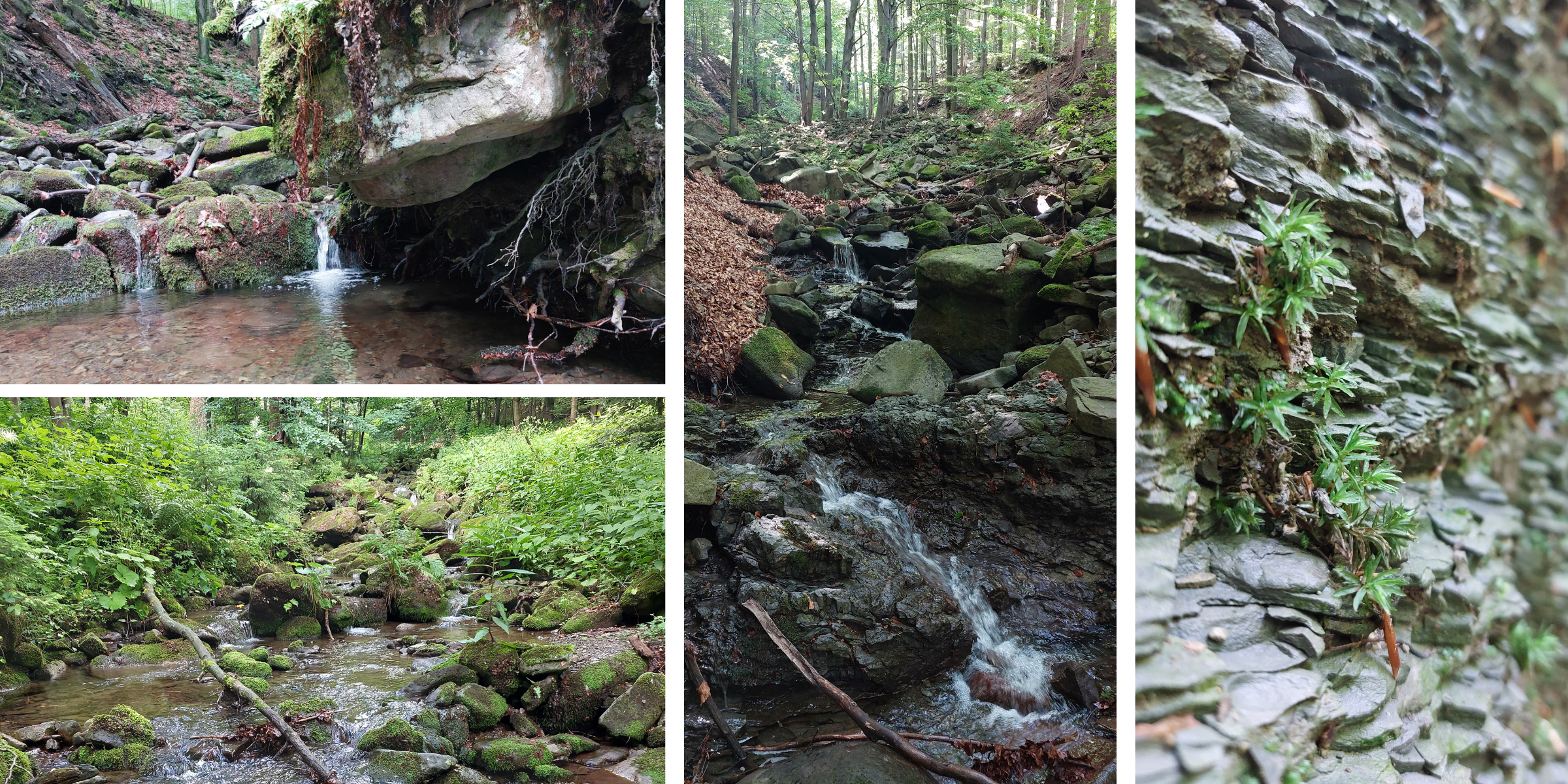
The route starts at the parking lot, which is right next to the entrance to the gorge of Bučací stream. At the beginning, the stream is quite wide and it can be difficult to walk this part with dry feet, and there are unexpectedly slippery rocks in places. Up to the point where the gorge crosses the red hiking trail, the path is without much elevation gain. After that, the trail gets steeper and the larger stream becomes a smaller narrow stream, around which there are interesting large rocks. After you have overcome the final climb, you will be treated to a spectacular view of Bučací Falls. There is a narrow path leading to the falls, so you can get to them with care.
A short distance from the falls there is a path that can be used in both directions to get back to the car. I recommend following the path to the red hiking trail, it is longer, but it leads through beautiful countryside.