
Map of the gorge
Location
Time: 5:00h
Ascent: 2:30h
Descent: 2:30h
Difficulty
Elevation difference: 320m
Discovered for rokling.cz by Petr Laco.
Trail description
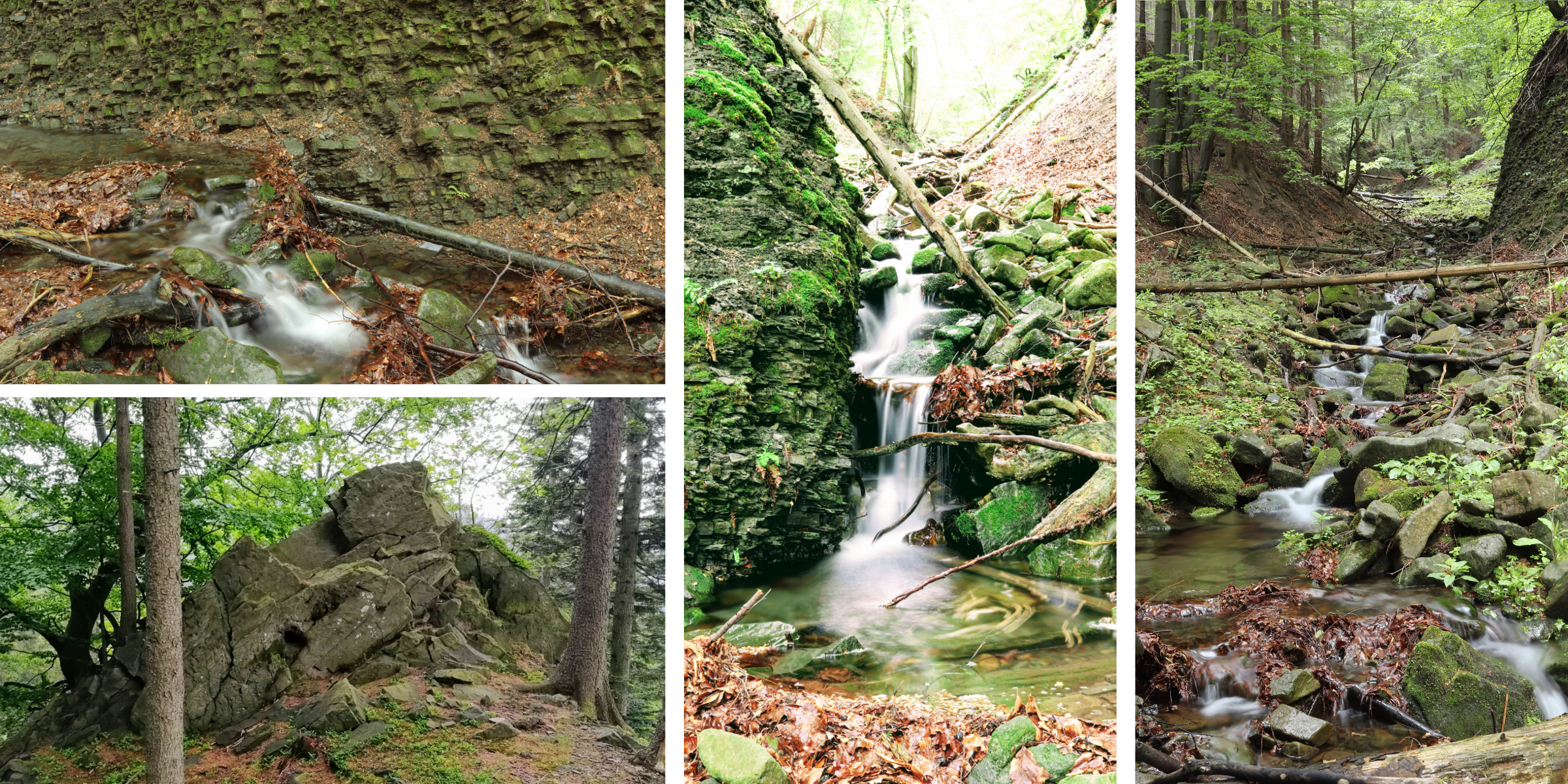
The starting point of the trail is a “Little Spruce Path” at the bridge over Matulák’s brook. You can park on the spot. The first 500m is a walk through the forest. The route then climbs by the bridge upstream of Matulák’s Brook. Beware, the steepness of the gorge increases with increasing altitude. At the top it may be better to walk along the edge of the cliff. Climb up to the forest path. Follow the path north and then to the Smrček ridge, where you can find an interesting stone sea (elevation 852) with meditation terraces and a view of Kněhyně peak.
Follow the path along the ridge down to the WNW to Thunder Rock. At Thunder Rock, you will join an old hunting trail that leads left along the contour (E) to the creek and follow the creek back down to the Little Spruce Path. The trail takes an adult about 2 hours and has a 40% grade at the highest point.
Recommendation
The gorge leads directly from the top of Smrk (= “spruce” in English) mountain (1276m above sea level). After rain it may be completely impassable, then go along its edge.